These three hikes in the East Bay are a notch above easy walks. They are all 3 miles or less, and they will get the whole family out of the house for a little exercise and fresh air.
Lafayette/Walnut Creek – Acalanes Ridge South
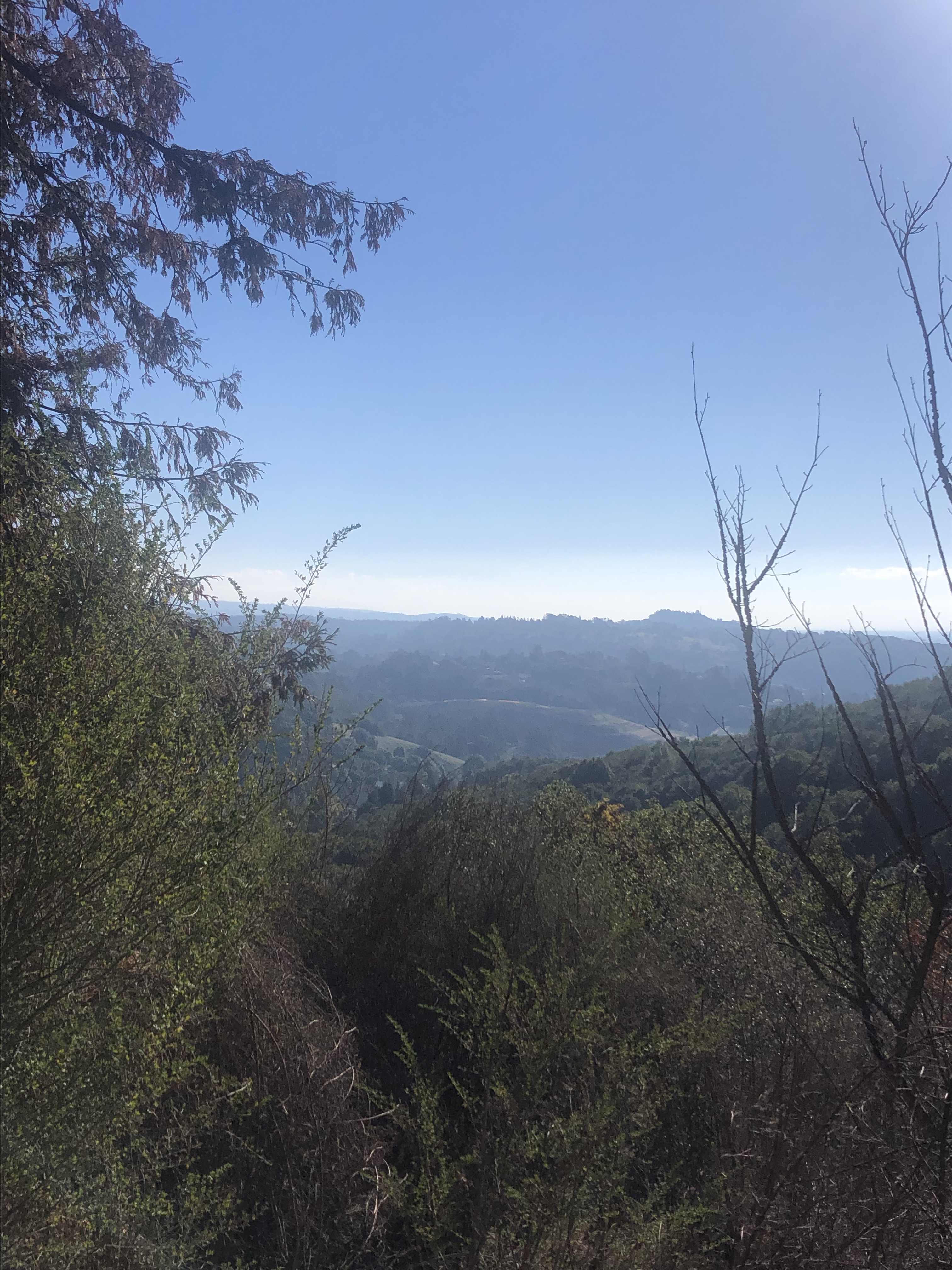
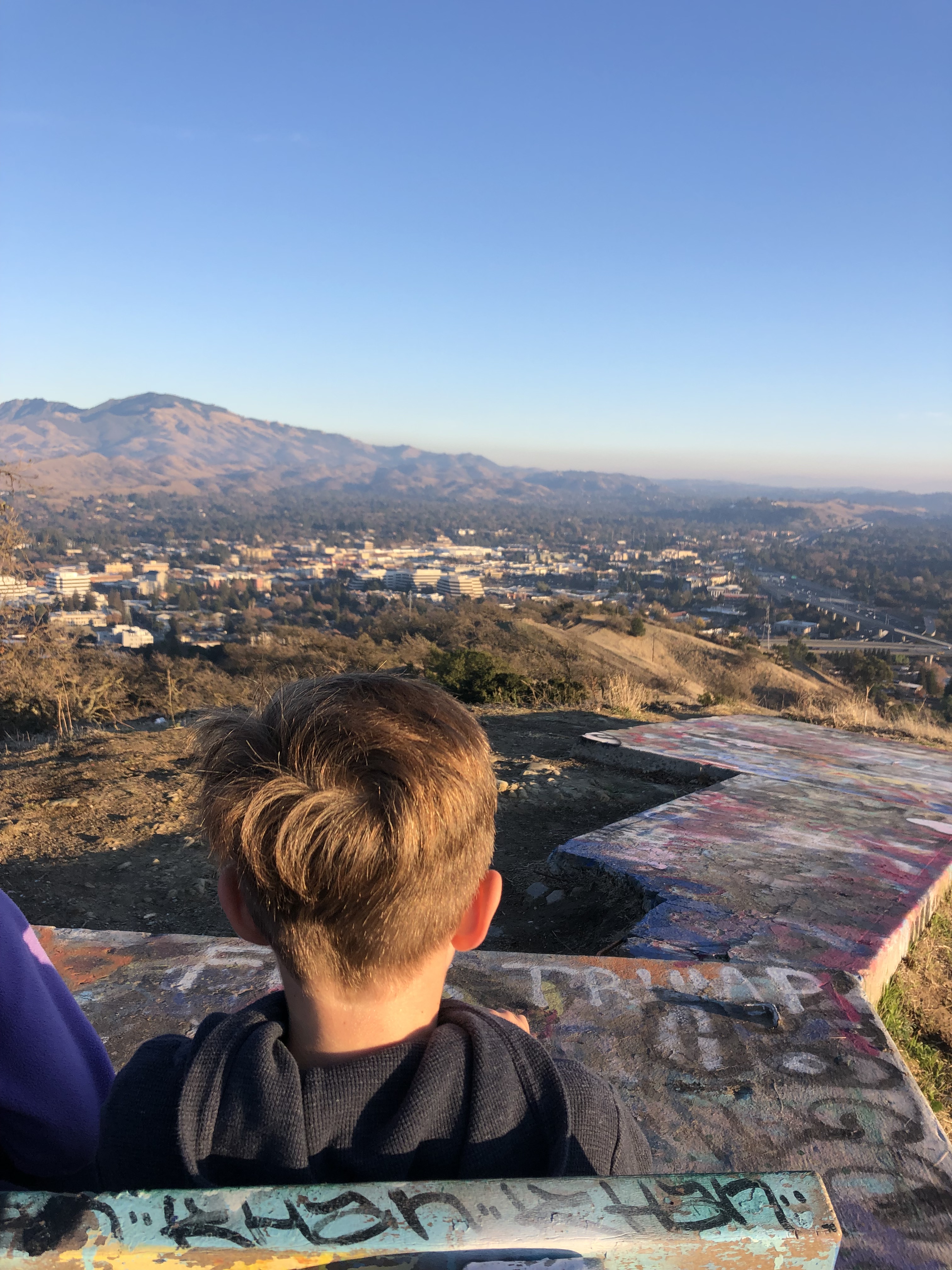
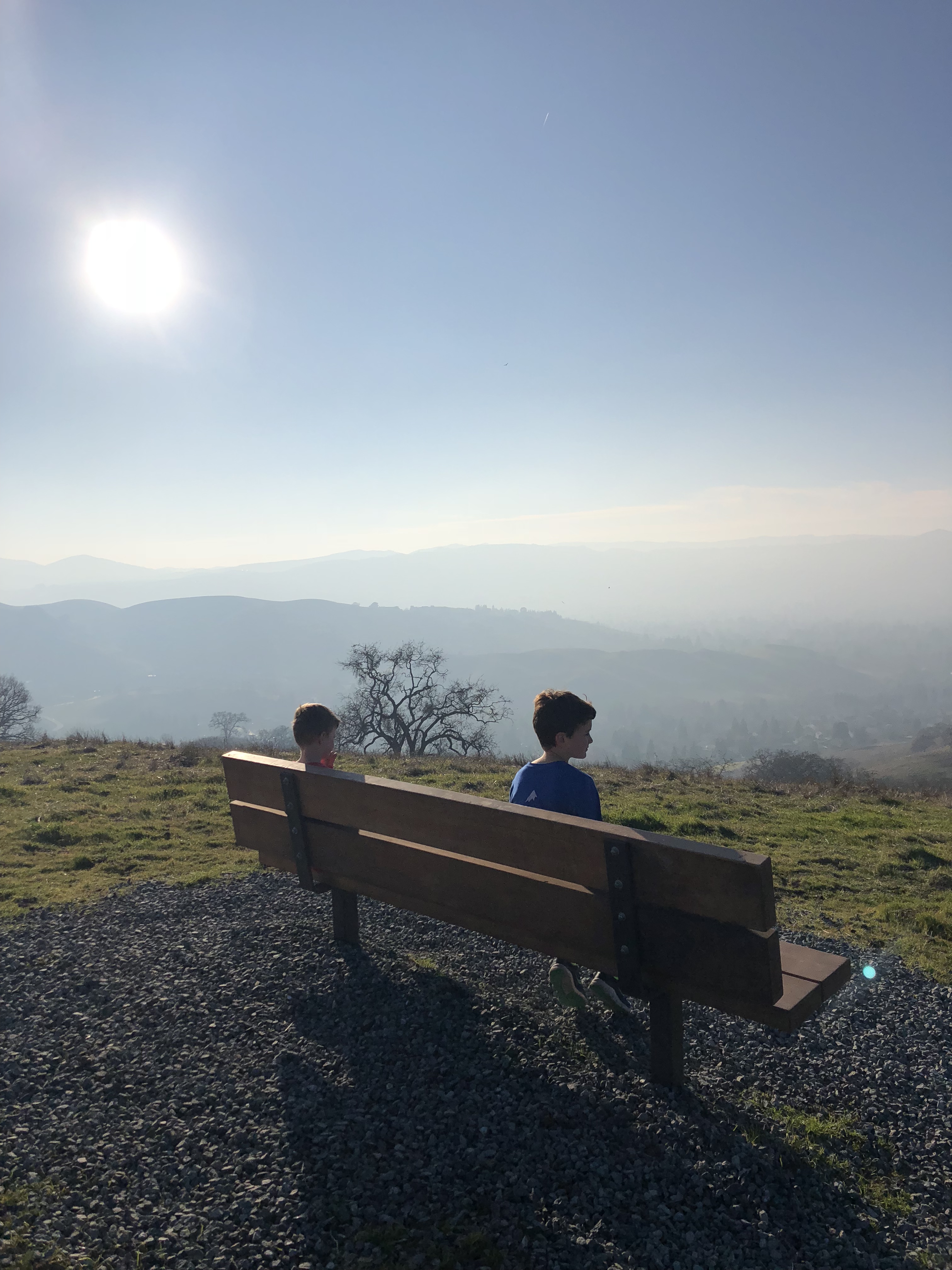
If you ever drive north on 680 through Walnut Creek, you’ve probably seen this trail up in the hills, marked by an American flag, behind the 680/24 interchange. This trail is part of the open space maintained by the city of Walnut Creek. It is an out and back hike that is approximately 1.4 miles round-trip. This is a wide dirt trail with no shade. There is a bench in the middle of this trail where there is a great view of the surrounding areas of Walnut Creek, Concord, and beyond. Fun fact: apparently, the graffiti covered concrete arrows that the bench sits upon were once a part of a transcontinental guidance system for postal service pilots in the 1920s and early 1930s, before radar existed! We parked at the trailhead at the end of Bacon Way in Lafayette. Turn right through the green gate to begin. You can’t get lost on this one – it’s the only trail there!


Danville – Sycamore Valley Open Space Regional Preserve: Short Ridge Loop
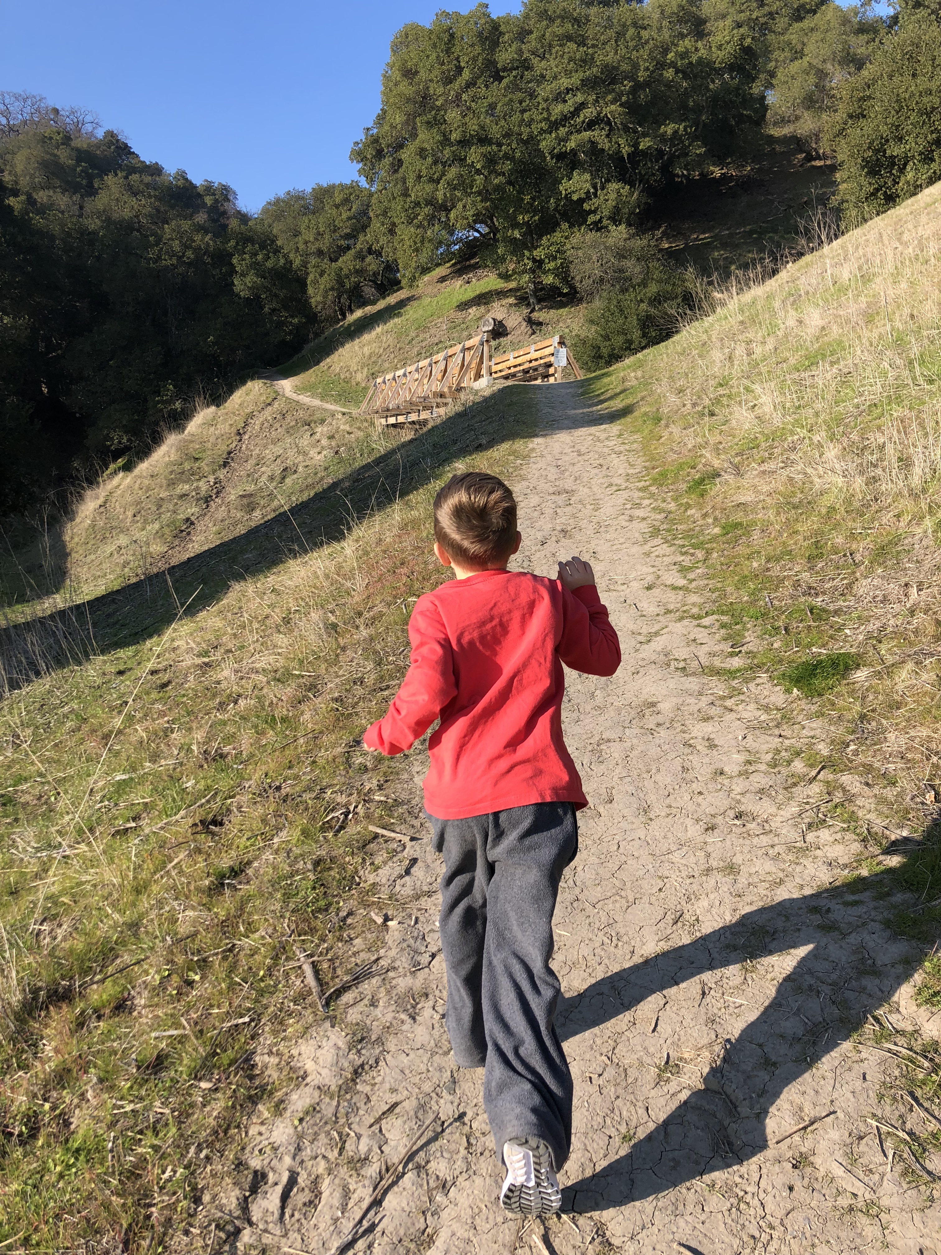
This is a nice loop hike that takes you up into the rolling hills of Danville, south of beautiful Mount Diablo. Park in the lot all the way at the end of Sherburne Hills Road in Danville. (It is behind the Rock Church on the north side of Camino Tassajara.) Enter at the trail entrance for Shady Slope Trail, and head up the hill. Some of this trail is shaded, and some not. After approximately 0.5 mile, turn right where the trail forks and walk until you reach Short Ridge Trail, where it dead ends. Hang right on Short Ridge for another 0.5 mile or so. There can be a lot of cow and horse manure on this trail – so watch out! Luckily, the trail is plenty wide to walk around. Turn right again when you reach Sand Hill Trail, and take that back down the hill. This takes you to a parking lot near Sycamore Valley Park. Turn right again to finish this loop by walking across the athletic fields of Sycamore Valley Park back to your car. Or, for a slightly longer hike, take the sidewalks next to the athletic park down to Camino Tassajara, turn right on the sidewalk there, and then make a right again up Sherburne Hills Road to your car.

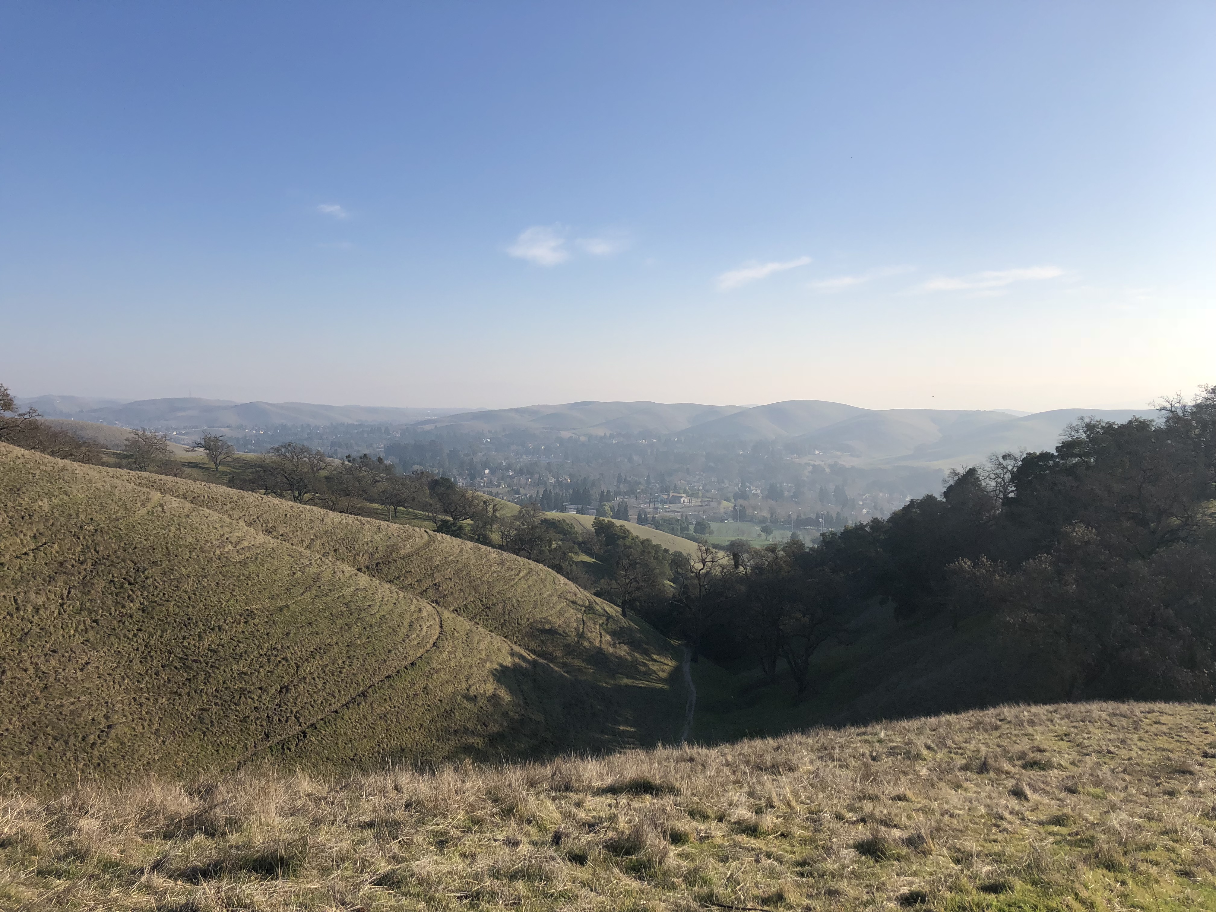
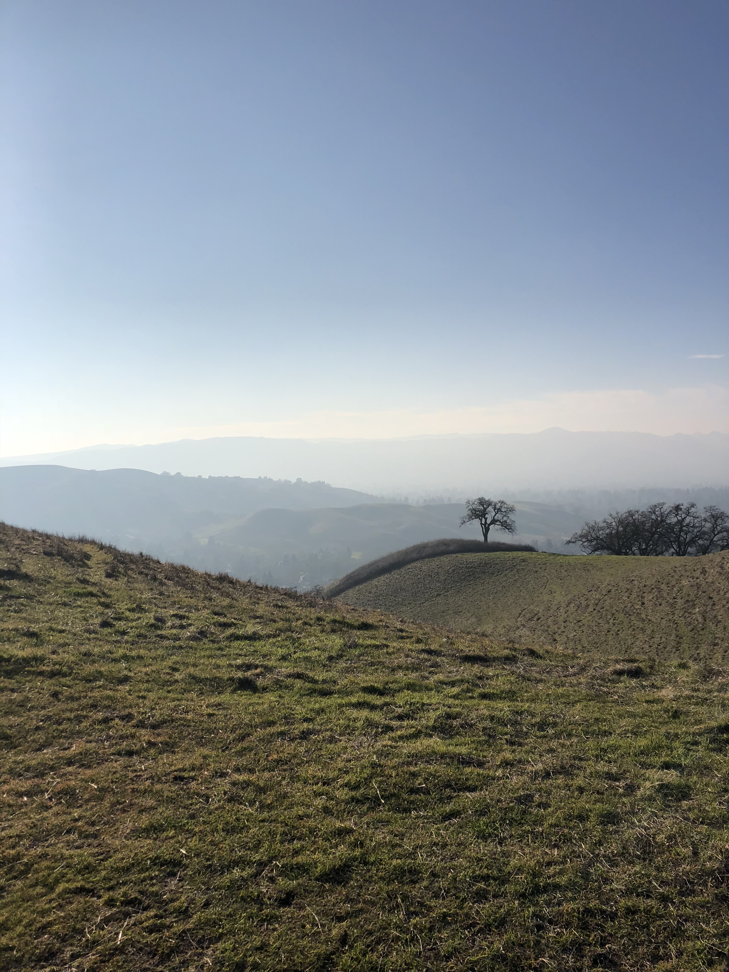
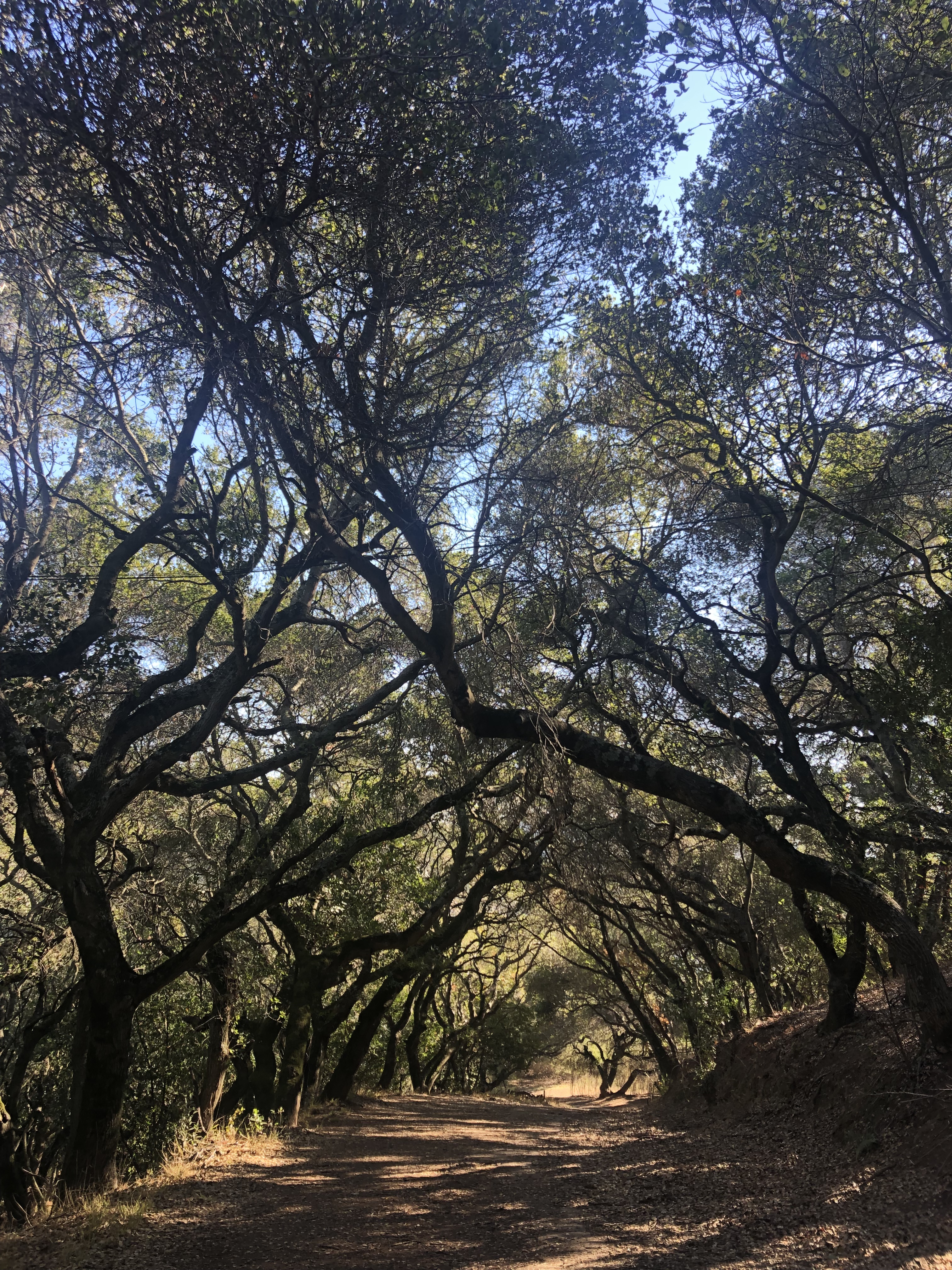
Oakland – Leona Canyon Open Space Regional Preserve: Leona & Pyrite Trail Out and Back
Tucked away in Oakland, beyond the magnificent redwoods of Redwood Regional, is Leona Canyon, a small wooded canyon along a creek, that provides three main trails to walk along. We hiked approximately 3 miles, out and back, along the Leona and Pyrite trails. We parked in the Leona Canyon Regional Open Space Preserve parking lot, near the intersection of Campus Drive and Canyon Oaks Drive in Oakland. (We missed the turn the first time. You have to drive into and make a left through the Ridgemont apartment complex parking lot.) We started on the Leona Trail, and turned left onto the Pyrite Trail after approximately 0.8 mile. There are a few spurs off the Pyrite Trail, one leads to a bench with a nice view, and another leads to a wide flat space. We turned around when we reached the end of the Pyrite Trail, and retraced our steps back to the car. There were several unmarked smaller trails off the main trails that the kids explored, but the main trails are wide, mostly shaded, and well marked.