There are so many places to hike and things to see in San Francisco. These three hikes are in and near Mount Sutro, the geographical center of the city.
Mount Davidson is the highest point in San Francisco, and it’s just south of Mount Sutro. This approximately 3 mile loop hike takes you through the wonderful trails of Mount Davidson and then along several city streets, stairs, and paths. Plenty of diverse settings for those who get bored on hikes.
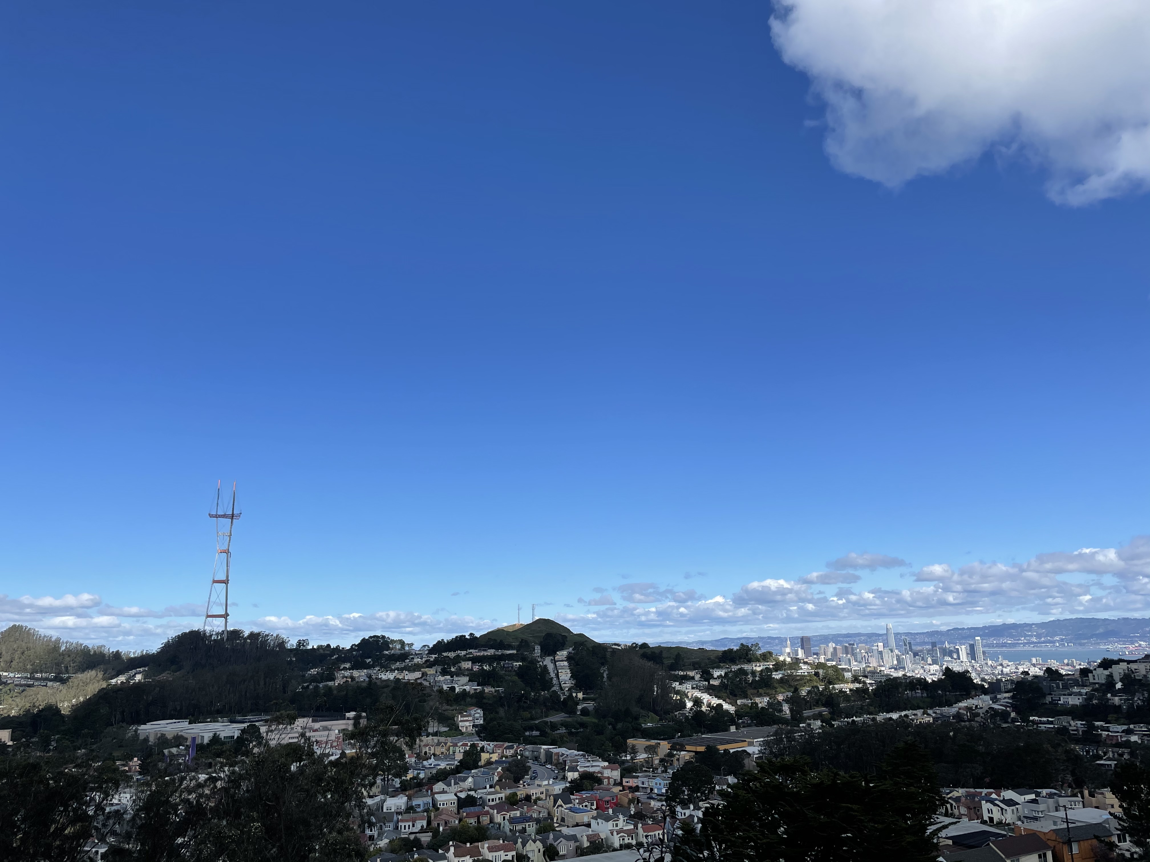
We park on Juanita Way near Marne Avenue. Walk north on Juanita Way and enter Mount Davidson Park via the steps on the right side of the road. Follow the trail. These trails are unmarked, so it is very helpful to have a map or GPS out to know where you area. Hang left to continue up the hill when you hit a fork in the path. As you continue on the path, you’ll notice several trails off to the sides. Take the second trail on your right. It is a slightly steep messy trail that takes you up to the main trail at the top of the hill. Turn right on the now wide path to find the vista point, and a large flat area to enjoy the stunning views of the city. There is plenty of room to sit and have a snack. You’ll also find a city landmark, the Mt. Davidson Cross, here at the peak.
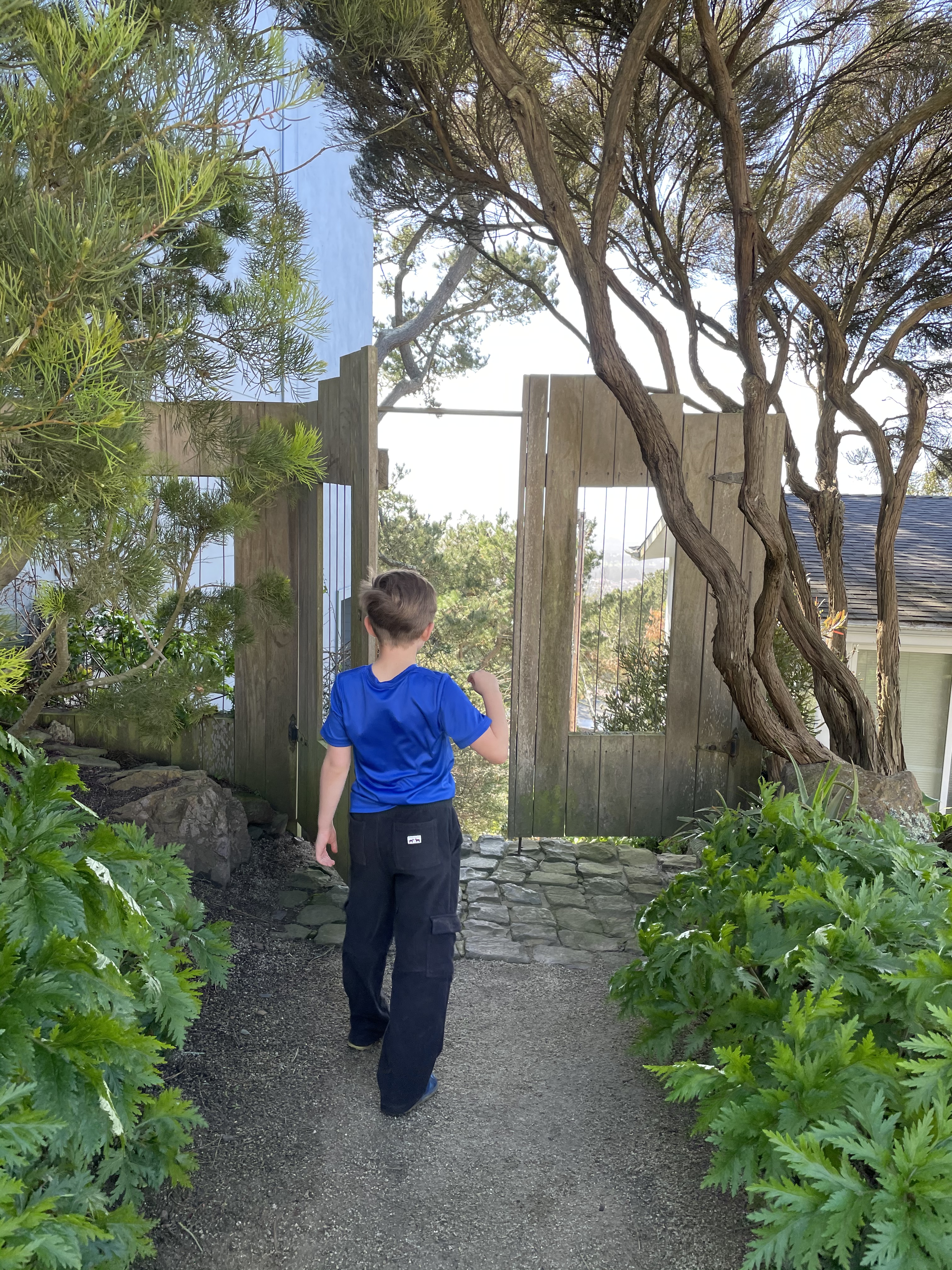
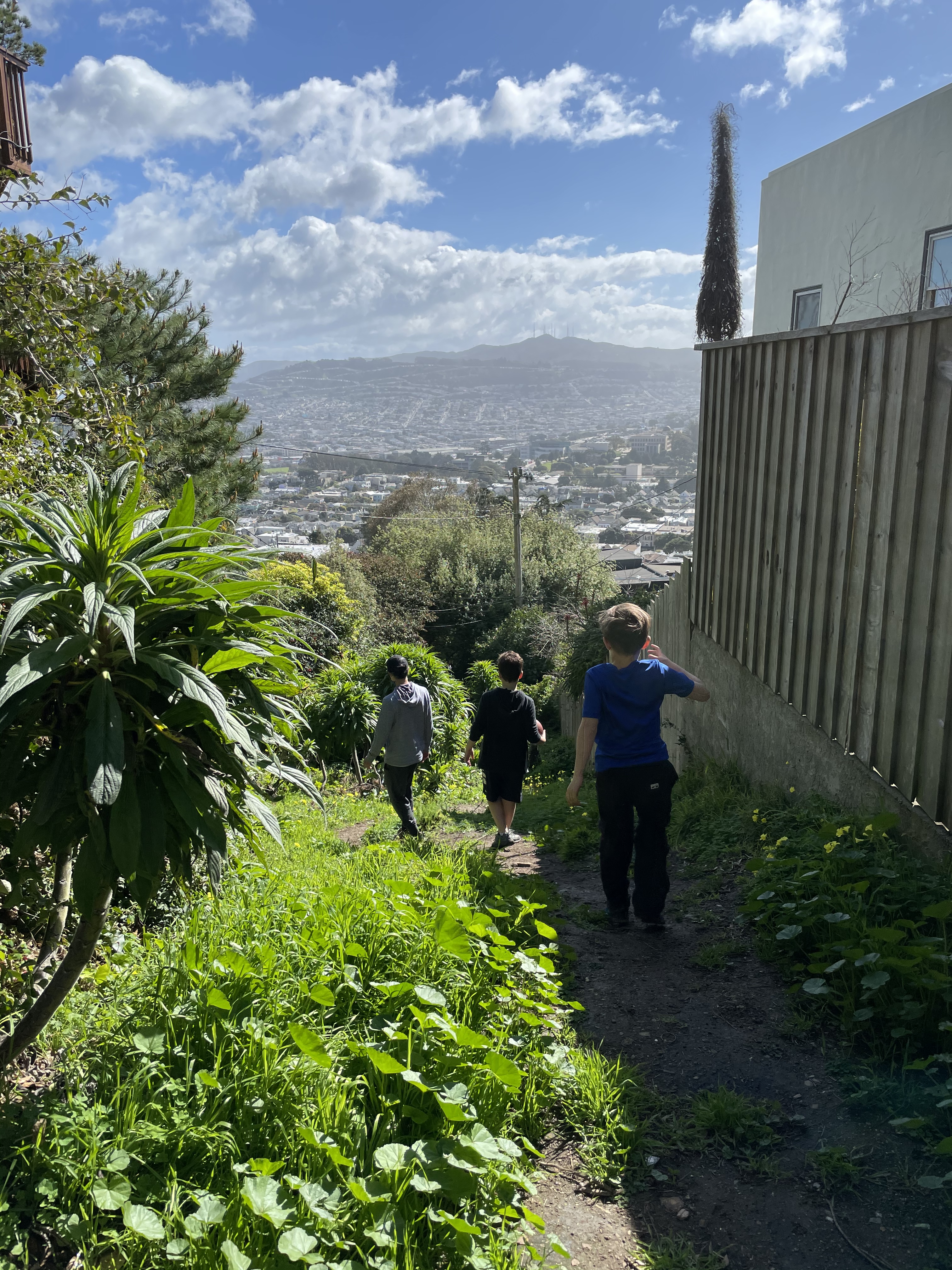
Near the cross, take the stair path down the hill on the west side (to your left if standing in front of and looking at the cross). Turn left to follow the path and continue straight, through the trees, taking the second path on the right. This path will continue down to Dalewood Way/Myra Way, where you take an immediate left and cross the street to find the signed, but somewhat hidden Coventry Lane path. Follow this path between homes to Coventry Court. Walk out of the Court and turn left onto Cresta Vista Drive. At Bella Vista Way, turn right and continue to Burlwood Drive. Turn right on Burlwood, and you’ll quickly approach the unmarked Lulu Alley on your left – a pretty dirt path between homes. Continue down Lulu Alley, walking through Los Palmos Drive, all the way down to Melrose Avenue. On Melrose, turn right and continue until you reach the stairs on your right. Head up the stairs, turn left to follow the road and continue north (right) along Brentwood Avenue. At the next intersection, turn right on Hazelwood Avenue. Take a brief walk on Hazelwood, and turn right up the obvious staircase, just past Los Palmos Drive. Take the stairs up to Cresta Vista Drive, and turn left. Follow Cresta Vista and turn right onto Casitas Avenue. Turn left when you reach Lansdale Avenue, and continue your walk. After a few homes on your left, you’ll see cute wooden doors in between homes. Head through the doors to go down Bengal Alley to Miraloma Drive. Turn right on Miraloma until you hit Juanita Way and back to your car.


UCSF Mount Sutro Open Space Reserve Loop
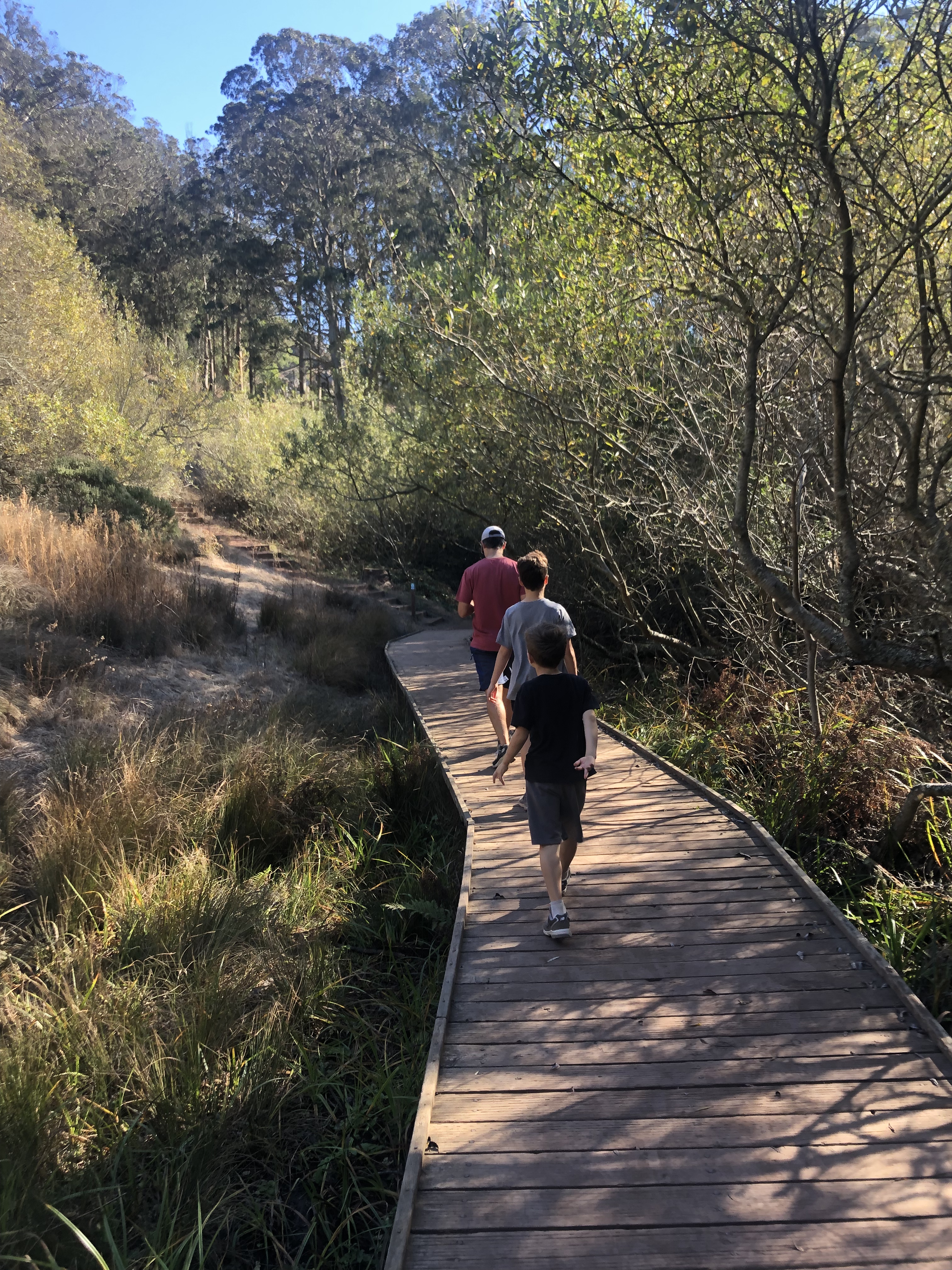
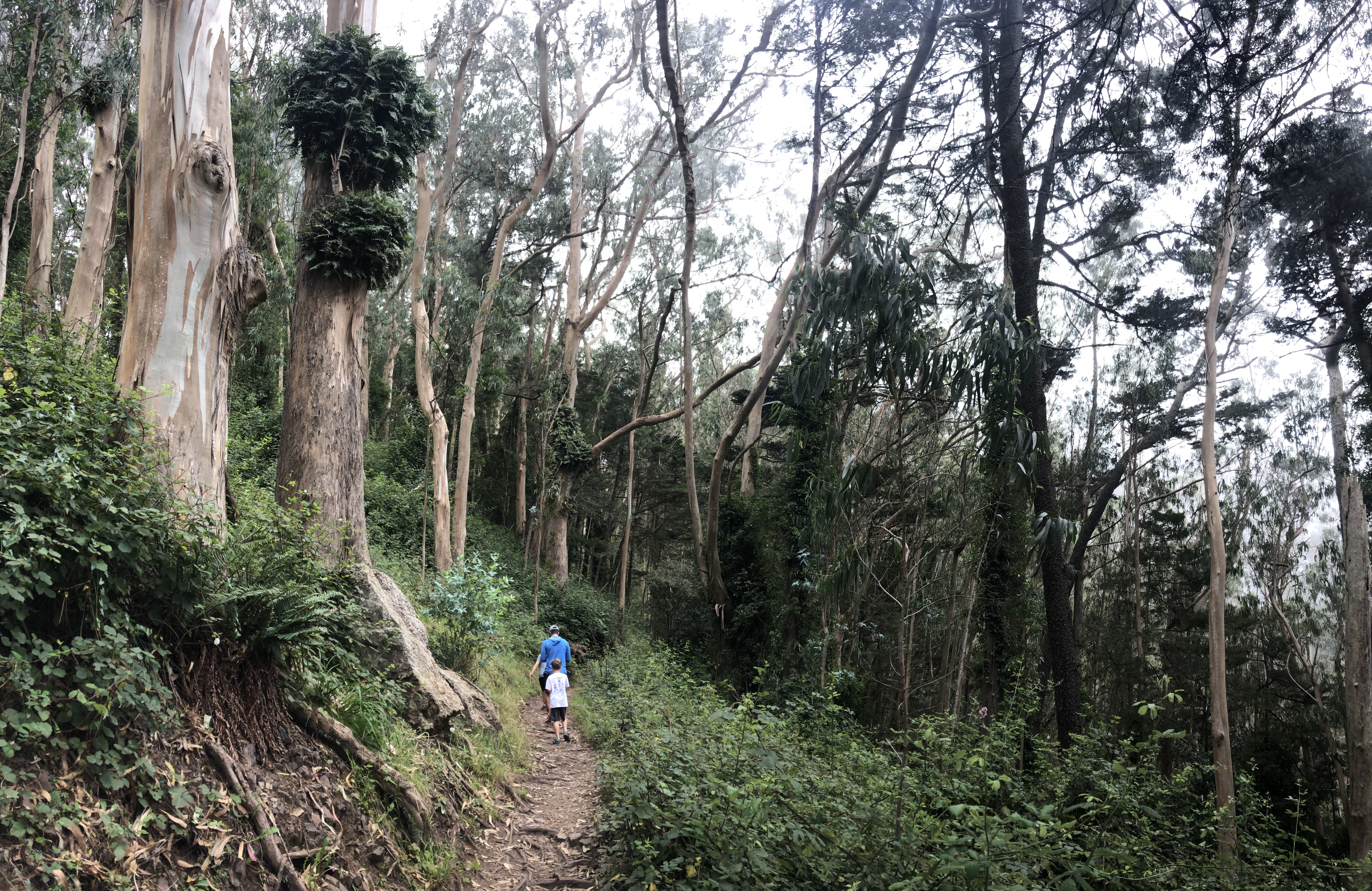
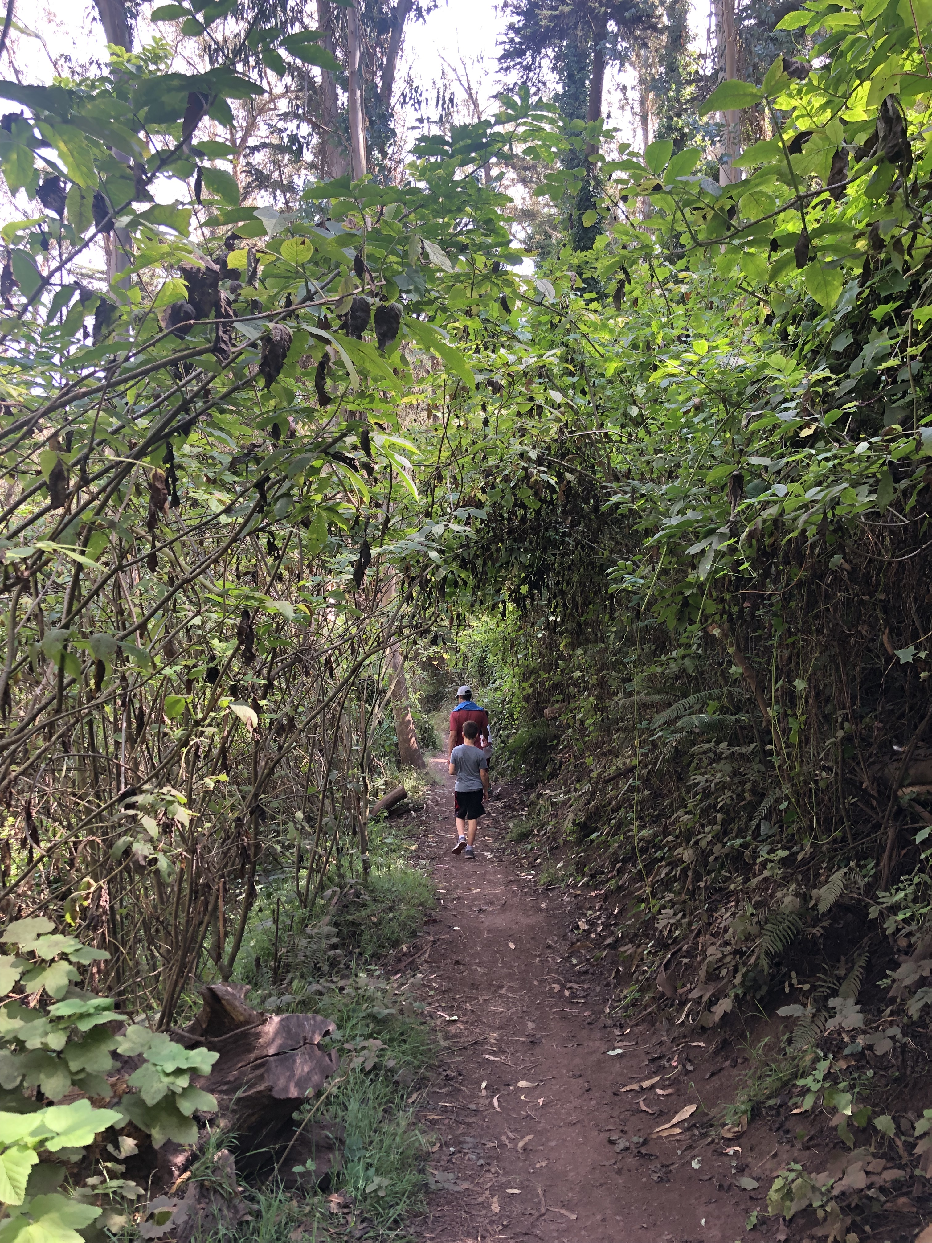
This is a wonderful easy loop hike in San Francisco that makes you feel like you’ve left the city and stepped into a secret eucalyptus forest! It is approximately 2 miles. Bring a jacket – the fog can get trapped in here, and the trail is almost entirely shaded. Be mindful of the poison oak along this trail as well. Sutro Stewards keep an amazing website concerning information on Mount Sutro’s history, conservation, recreation, and stewardship.
Park on the street on Stanyon, near the Grattan Playground. You’ll see a small wooden staircase entrance near Stanyan and 17th Street. This is the start of the Historic Trail that takes you into the open space. When you hit the intersection of trails, turn right to continue on the Historic Trail. Continue on, past the turns for the West Ridge Trail. Eventually, you’ll reach a junction with several trail options. Turn left onto Gardener’s Trail (you could also take South Ridge – they both take you the same way). When you hit Nike Road, turn left and continue on to East Ridge Trail. Along the way you’ll pass Rotary Meadow and hit the peak of Mount Sutro. Take East Ridge Trail until you hit a road – Johnstone Drive – and turn left. Walk briefly along the road until you see the Fairy Gates Trail entrance on your left. Turn left onto Fairy Gates Trail and follow until you can turn right to the trail that takes you back to Historic Trail. Turn right on Historic Trail to retrace your steps out of the Open Space and back to your car.
NOTE: As of January 4, 2021, UCSF Facilities Maintenance will be conducting tree work on Mount Sutro lasting until March 2021. Some of the trails are closed for safety reasons until the work is complete.


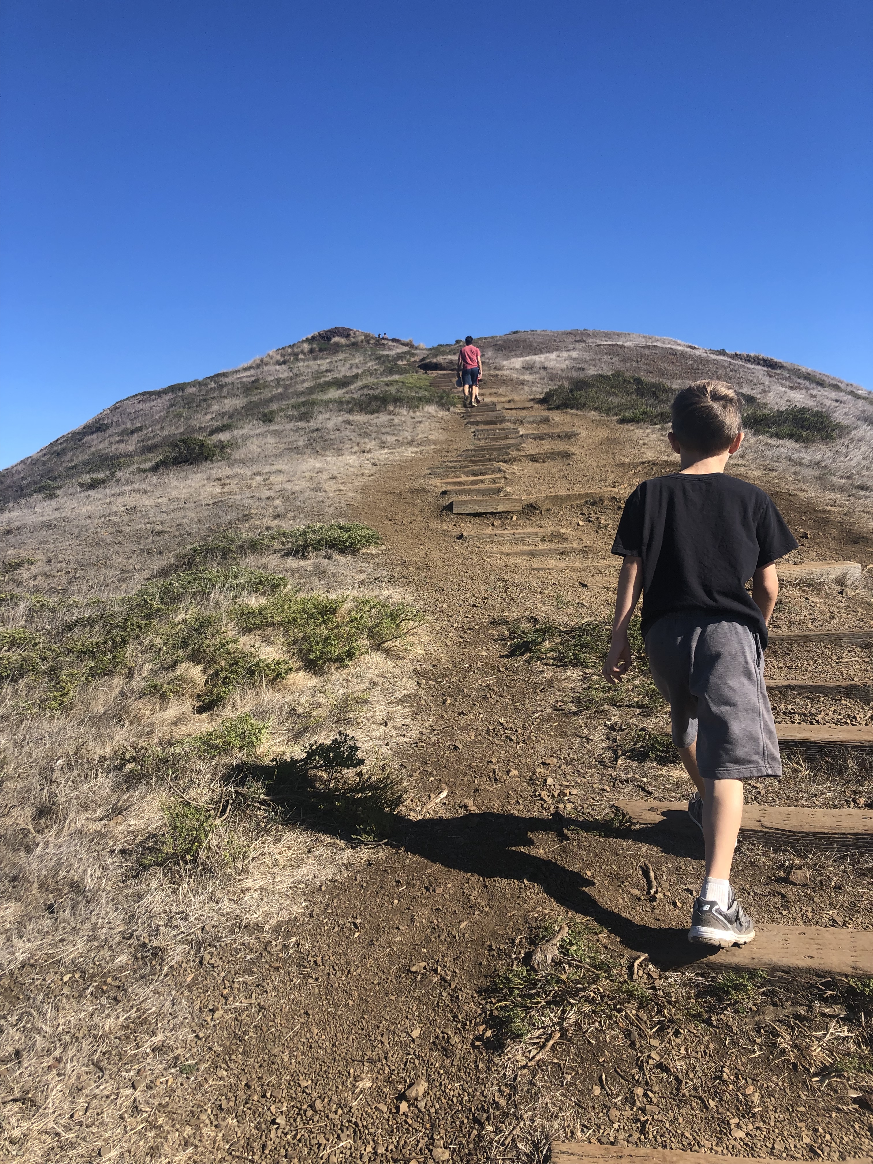
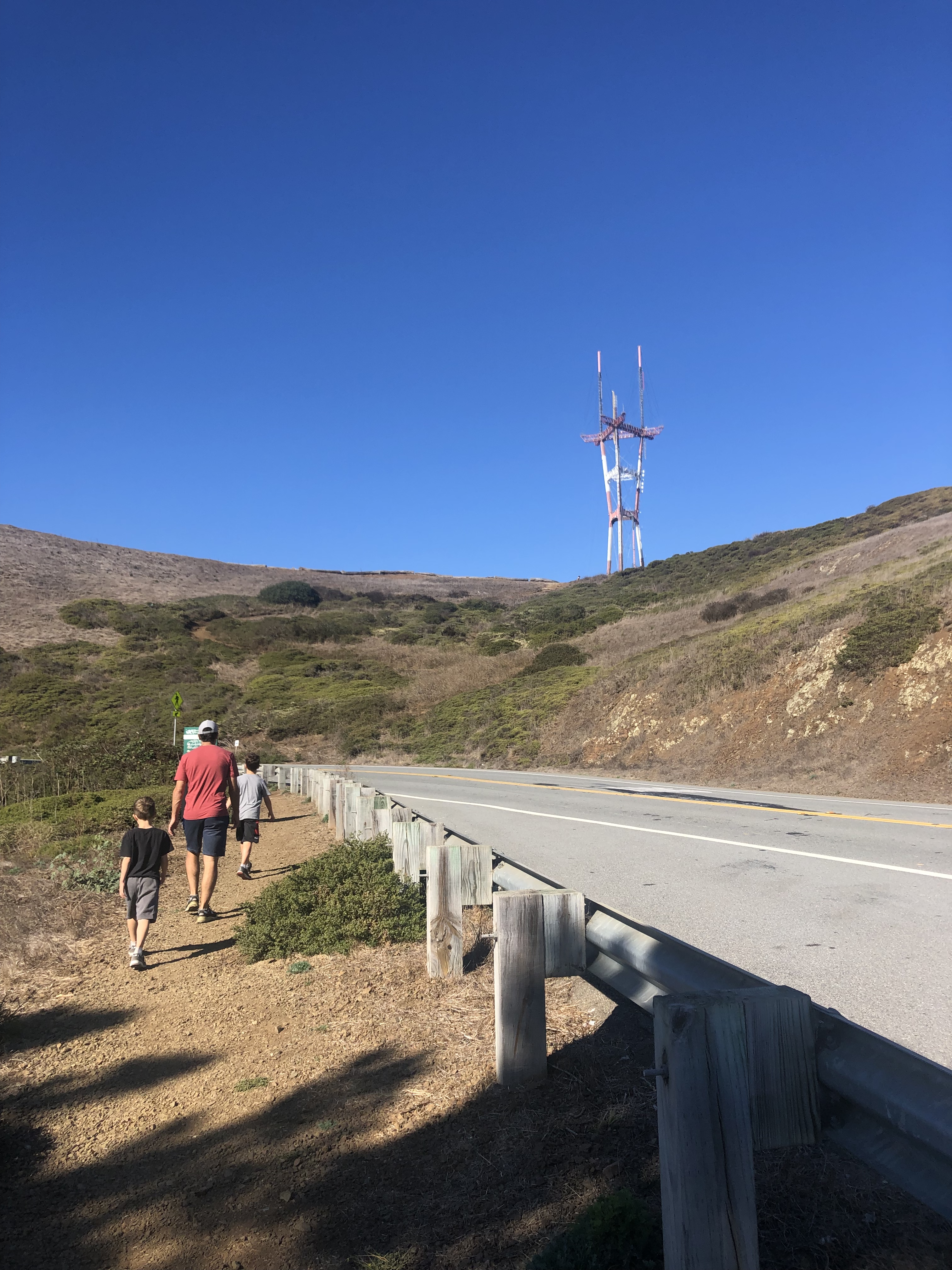
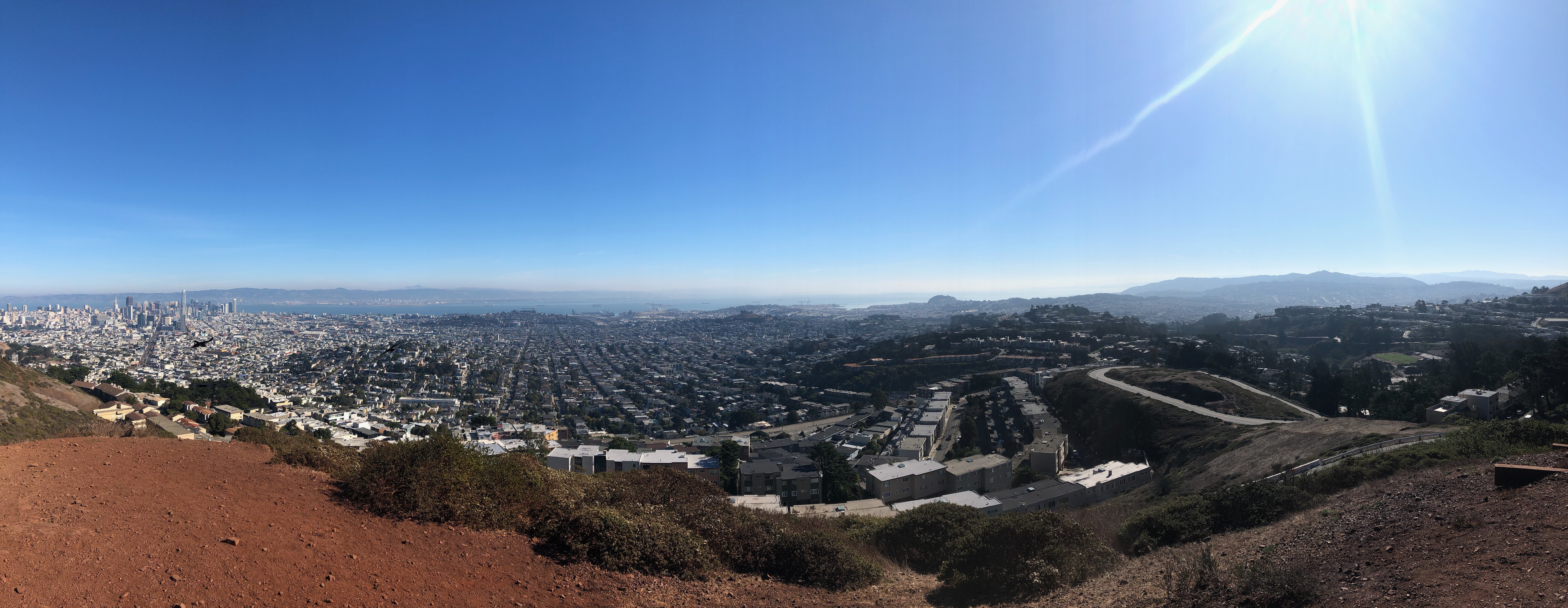
The “Creeks to Peaks” hike is an out-and-back, just over 3.5 miles. This well-marked trail begins in Glen Canyon and takes you up to Twin Peaks, the second highest point in San Francisco. The views are spectacular. This begins as an easy hike and becomes moderate, as you gradually climb up to twin peaks, at approximately 922 feet in elevation. This hike has a little bit of everything: stairs, both urban and nature settings, dirt trails, wooden pathways, shade and sun, and per the title of this post – a view of Mount Sutro and Sutro Tower to the northwest. We find street parking on Diamond Heights Boulevard/Elk Street near Sussex Street. San Francisco Recreation has this great pamphlet about this hike. We take it just a little farther to Christmas Tree Point.
Enter Glen Canyon park from any entrance close to your car, and make your way to the Islais Trail, which is to the left of the Gum Tree Girls Trail. Start on the Islais Trail toward Portola Avenue. Continue along the Islais Trail and veer left when you reach a dead-end, to continue northwest. There are nice wooden walkways here, which are helpful when the ground is muddy. When you reach Portola Drive, cross the street at the crosswalk and turn left. Make a sharp right turn on the dirt trail next to Twin Peaks Boulevard. Follow the trail next to the road until you can cross the street at the crosswalk to your left and up the stairs on the hillside. Cross the street again at the crosswalk to your left and make your way up the trail to twin peaks. Explore both peaks (the second peak has views of the Golden Gate and Alcatraz that you can’t see from the first), and continue to Christmas Tree point, looping around Christmas Tree Point Road to turn yourself around, and hike back the way you came.
Glen Canyon park has a playground, sports fields, and a lot of open space to have a picnic with the family. It is a beautiful neighborhood park.