These were our hikes on Days 5, 6, and 7 of the initial COVID-19 lockdown in March 2020. For us, these are at the easier end of moderate hikes. They will all be hot in the summer, muddy after a rain, and most beautiful in the winter and spring.
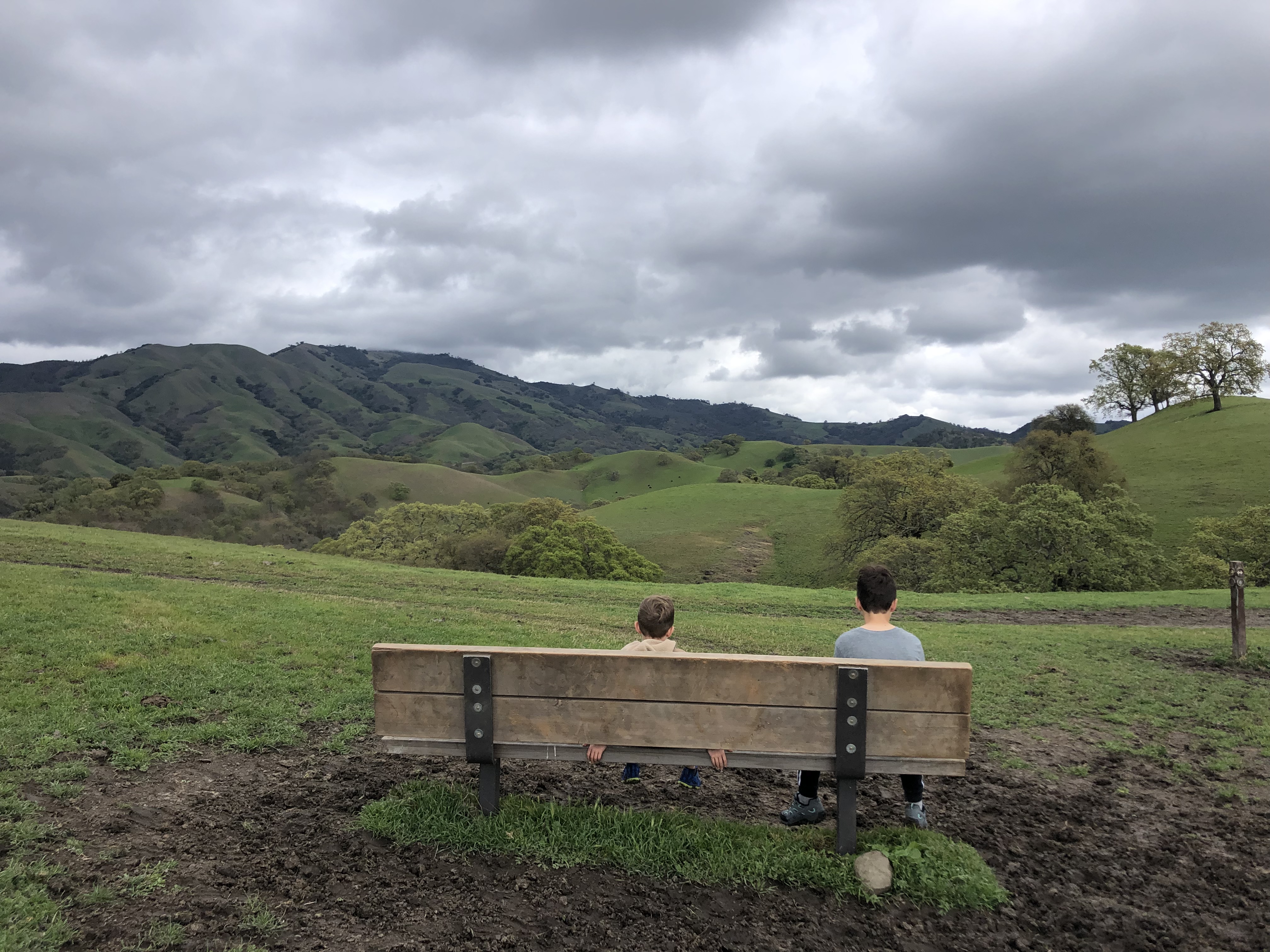
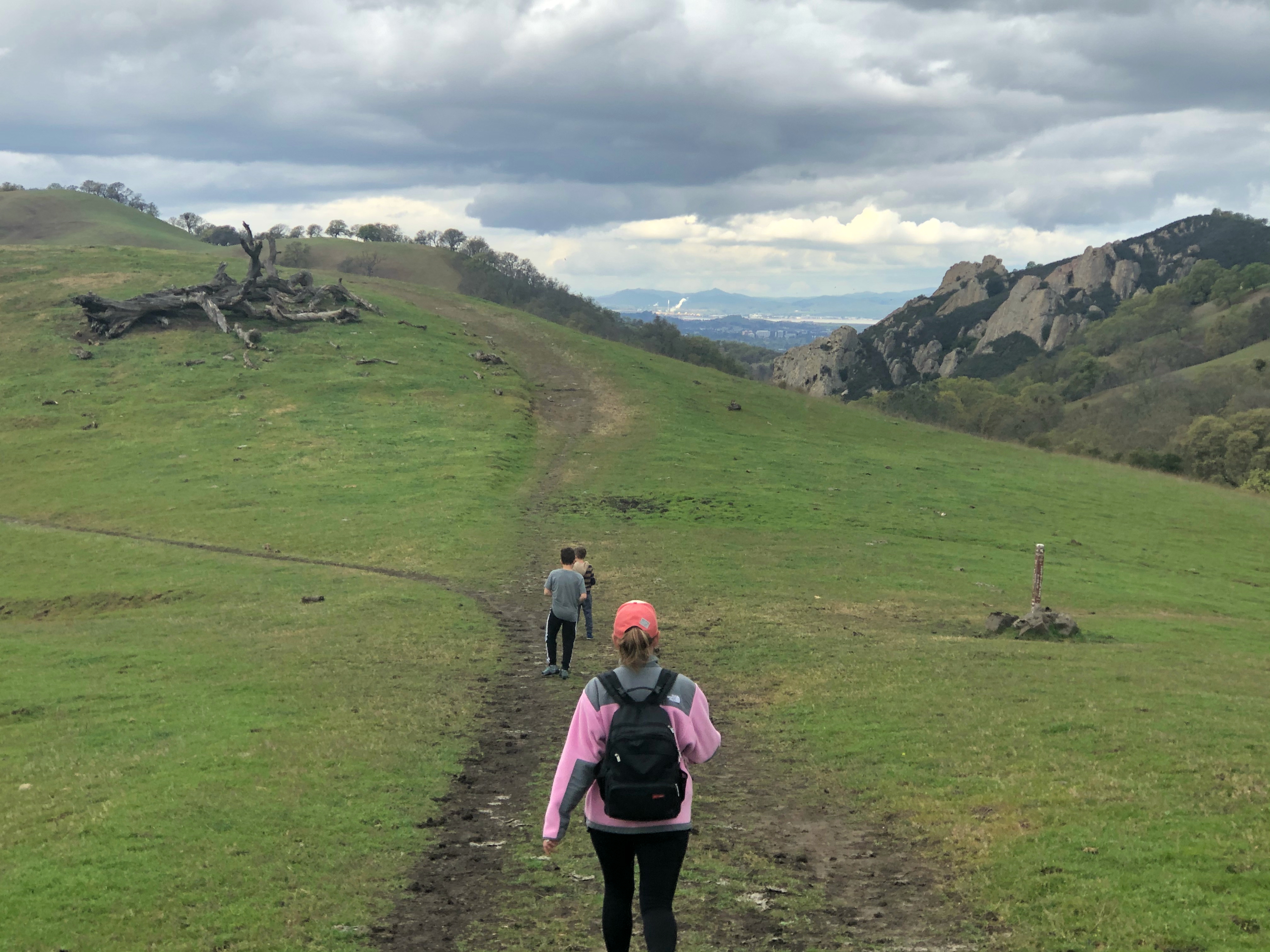
Alamo: Out and Back Hike to China Wall in Mount Diablo State Park
This hike can be done a few ways depending on how long you want to hike and where you want to park. You can start at the Livorna Staging Area of Diablo Foothills Regional Park near the end of Livorna Road in Alamo. From here, it is approximately 1.5 miles to reach China Wall, so about 3 miles out and back. Alternatively, you can start at the Macedo Ranch Staging Area in Mount Diablo State Park, which is located at the end of Green Valley Road in Alamo. From here, it is approximately 1.2 miles to reach China Wall, so about 2.4 miles out and back. You can also walk from Livorna Staging area to Macedo Ranch (or vice versa) and pass China Wall, to hike a total of nearly 5.5 miles out and back. You’ll get beautiful views of Mount Diablo, lots of rolling hills, and large, interesting rocks which make up the “China Wall”. There’s no shade on this hike. You’ll find cows on this trail, but there is so much open space that even if they block the trail there is plenty of room to carefully walk around them. Everyone in our family likes this hike, and we’ve walked these paths many times now. Once you reach the hills, you feel like you’re a million miles away from the hubbub of everyday life.


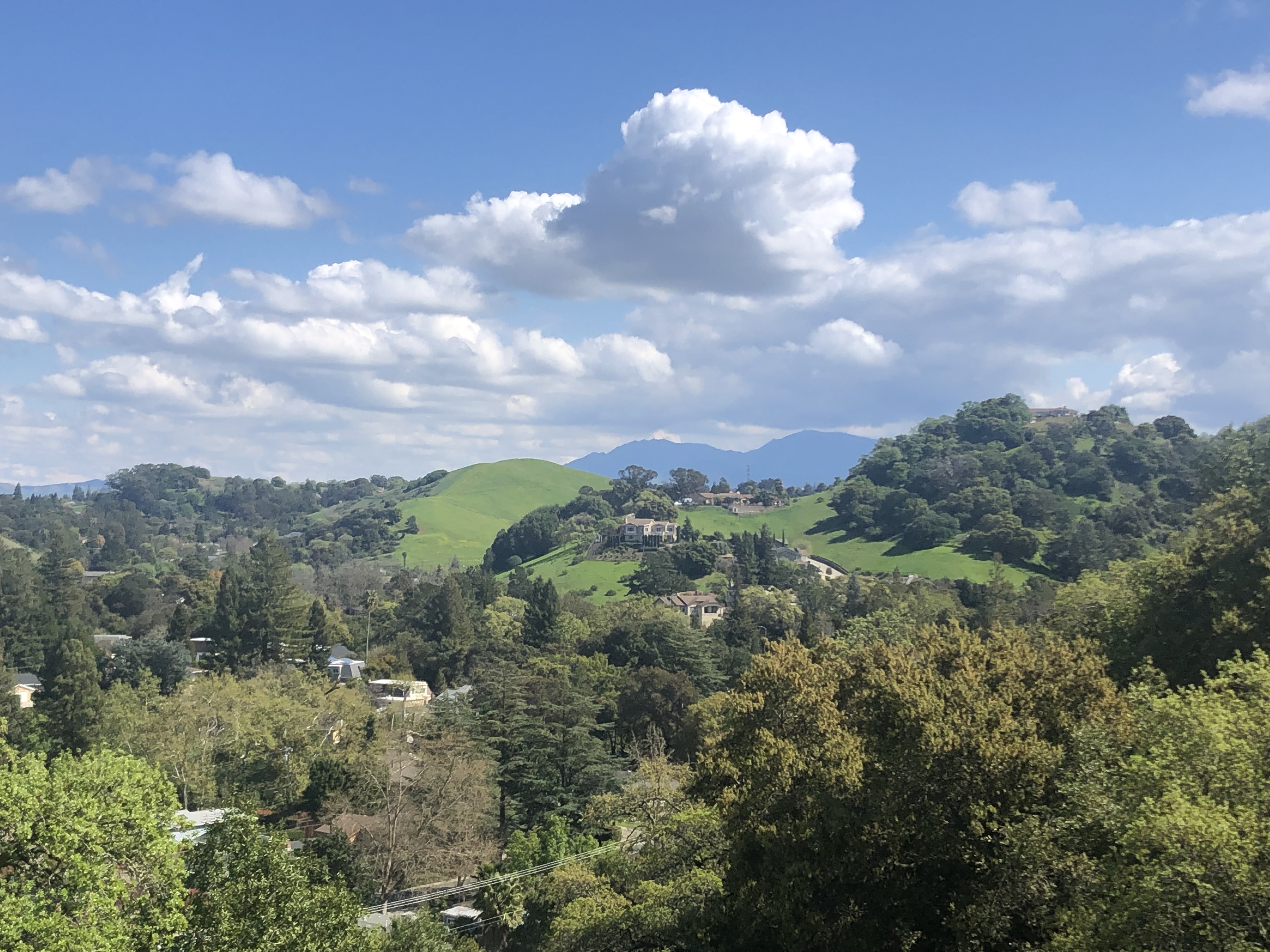
Martinez: Mount Wanda and Mount Helen Lollipop at the John Muir National Historic Site
The whole family really liked this hike. We call it a lollipop because this starts and ends on the same trail, but there is a loop at the top. It starts steep (you’ll climb about 650 feet up in the first mile or so), and then it levels off. This hike is approximately 3 miles round trip. It has some shade, but is mostly in the sun. At the top, you get spectacular sweeping views of the East Bay. (We also saw a skunk at the top and immediately hightailed it back down the hill!) We parked in the small lot near the trailhead at the intersection of Franklin Canyon Road and Alhambra Avenue in Martinez. Google maps gets you here if you search Mount Wanda Trailhead. The trailhead is on the same side of the street, just west of the parking lot. Head up the main fire trail, and turn right onto the Nature Trail at the fork. Follow the Nature Trail around until you return to the main fire trail. A short side trail off of the main fire trail takes you to the top of the Mount. Follow the main trail back down to the start. This land is protected by the John Muir Land Trust and owned by the National Park Service.
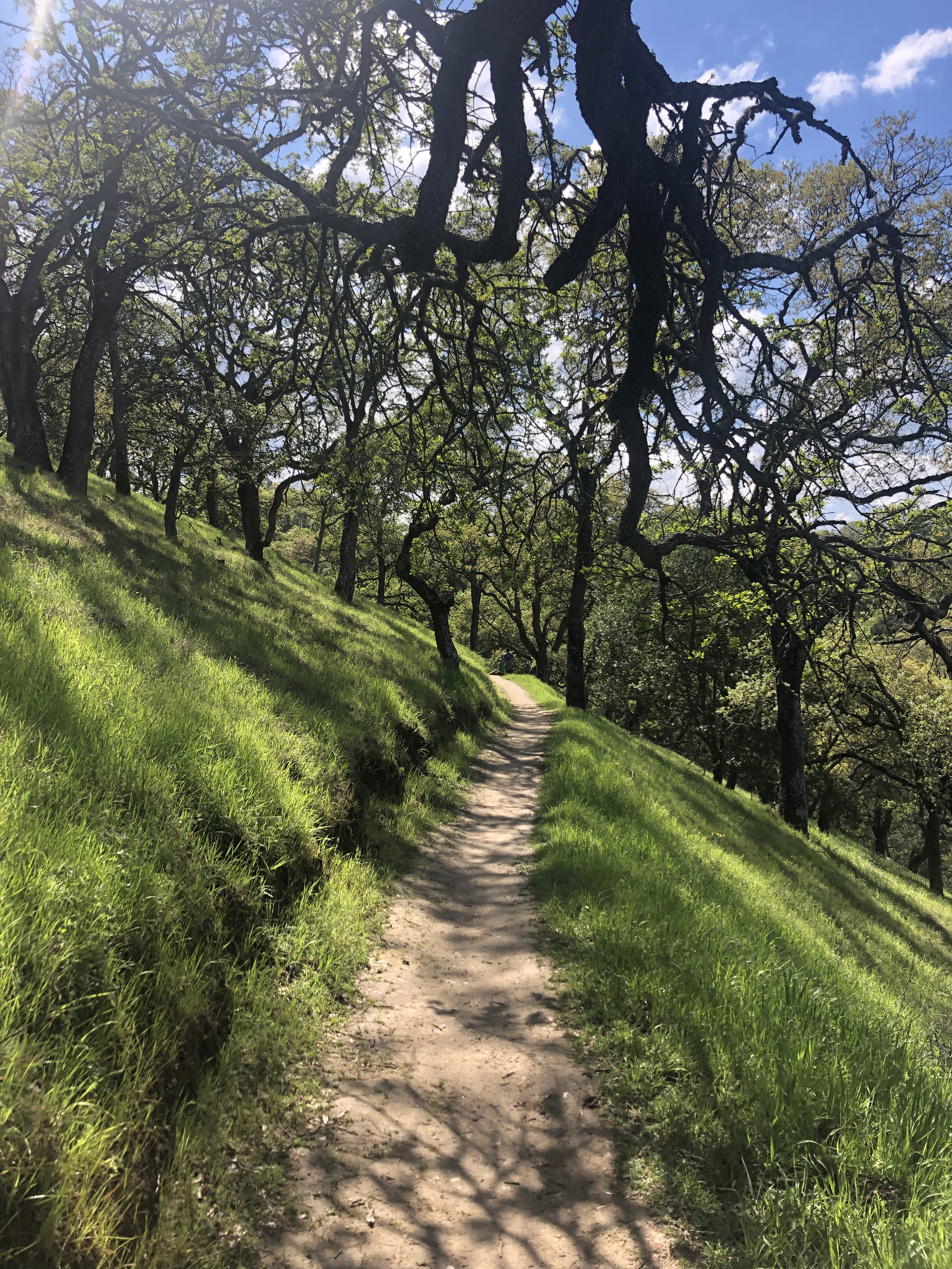


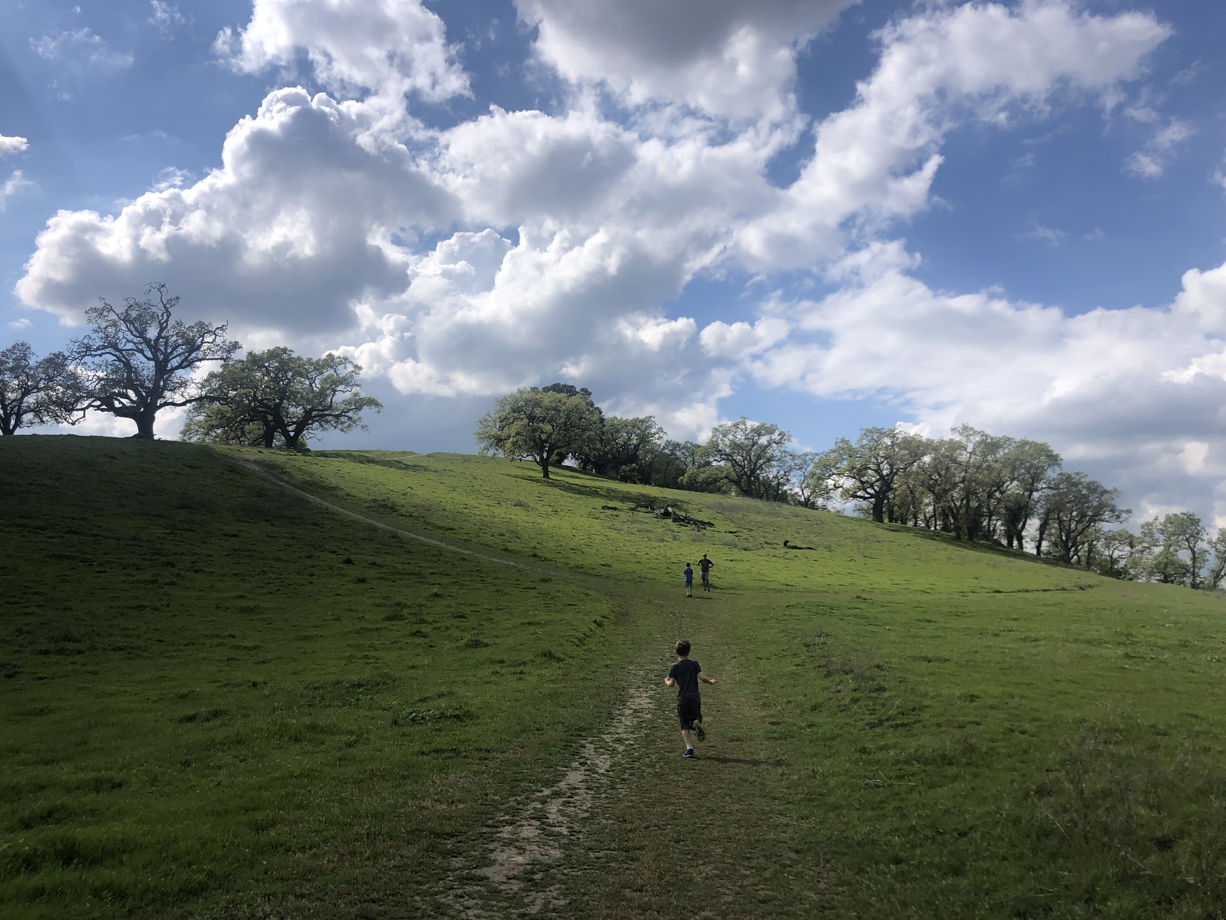
San Ramon: Grey Fox to Redtail Hawk to Stream Trail at Bishop Ranch Open Space Regional Preserve
This hike is located in a small open space on the edge of San Ramon. This hike starts off very steep before leveling off. It is a backward lollipop that we made a little over 3.5 miles roundtrip. We hiked the Grey Fox Trail up and turned right onto the Redtail Hawk Trail, walking about a mile along the Redtail Hawk Trail before turning around and returning by way of the Stream View Trail. From the top, you get beautiful views of Mount Diablo, San Ramon, and the surrounding area. Most of this hike is in the sun, though there is some shade. We parked on Morgan Drive, near Hawkins Drive, in San Ramon. Google maps gets you here if you search Bishop Ranch Regional Preserve. If you live nearby or are in the area, this is worth checking out, but we all agreed it’s not worth a long drive.


These all look awesome! Love your descriptions and looking forward to lacing up my hiking shoes and hitting the trails!!
LikeLike